


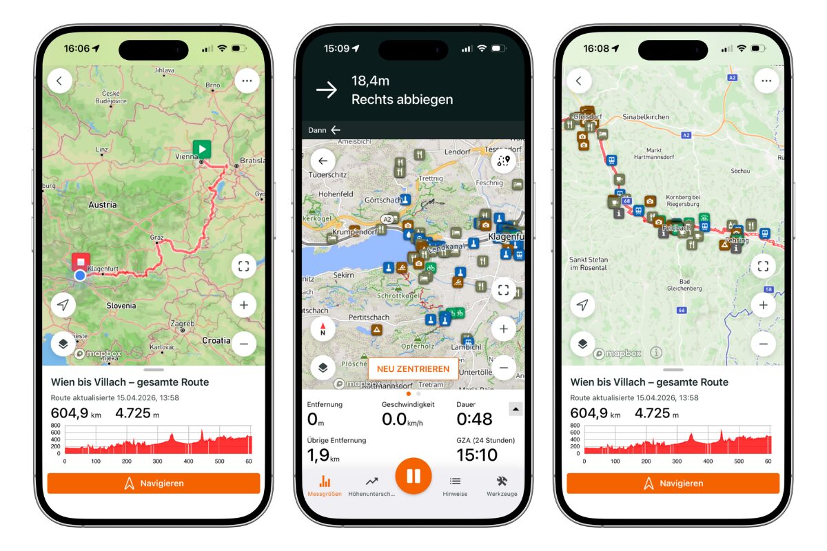
Your entire cycling trip in one app
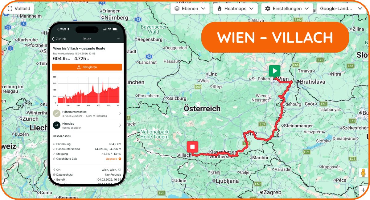
To make planning and taking your trip as easy as possible, we use the navigation app “Ride with GPS.” With this app, you’ll get:
✔️ Detailed navigation along the route
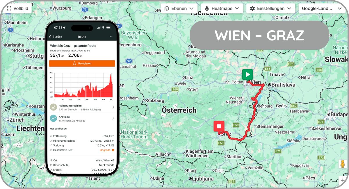
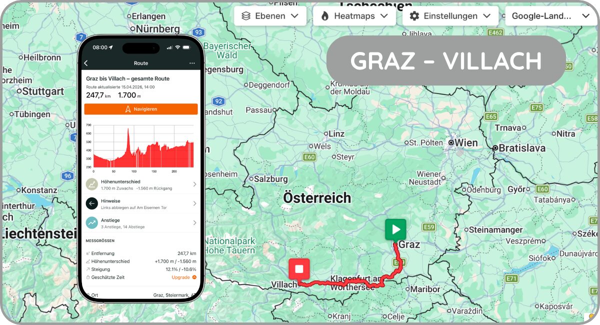
✔️ Elevation profile and stage overview
✔️ Bike-friendly restaurants & accommodations
✔️ Points of interest, bike shops, and much more
✔️ All the essential information right on your smartphone
HOW IT WORKS

BUY NAVIGATION PACKAGES
WHAT CYCLISTS SAY
 Verified Buyer
Partly on rough forest trails. As a result, some sections are only accessible by mountain bike. Overall, though, it's very beautiful.
Verified BuyerA beautiful route with a trail suitable for e-bikes or people in good physical shape who want to complete the indicated stages in a single day
Verified BuyerPoorly Signposted
Verified BuyerThe bike path in Hungary is a mountain bike trail; the roads are in poor condition; in Slovenia, it’s also partly a mountain bike trail
Verified Buyer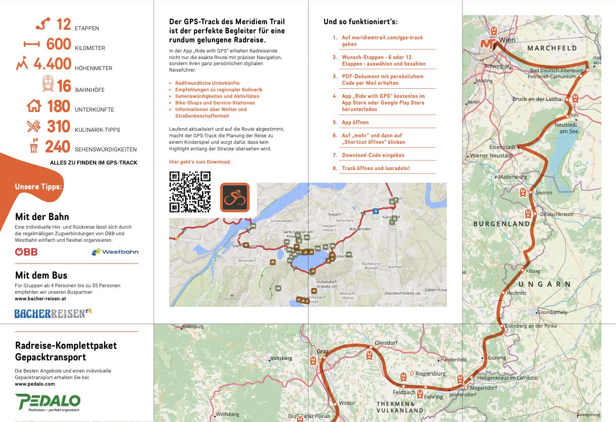
Fact Sheet
Download
The information map provides an overview of the Meridiem Trail. You can find the exact route, hotels, restaurants, attractions, and all the tips in the GPS track.